Flir BelgiumBA DP4KW Light Marine Navigational Radar User Manual E Series Networked Display Ref Manual Part 3
Raymarine UK Ltd. Light Marine Navigational Radar E Series Networked Display Ref Manual Part 3
Contents
E Series Guide Part 3
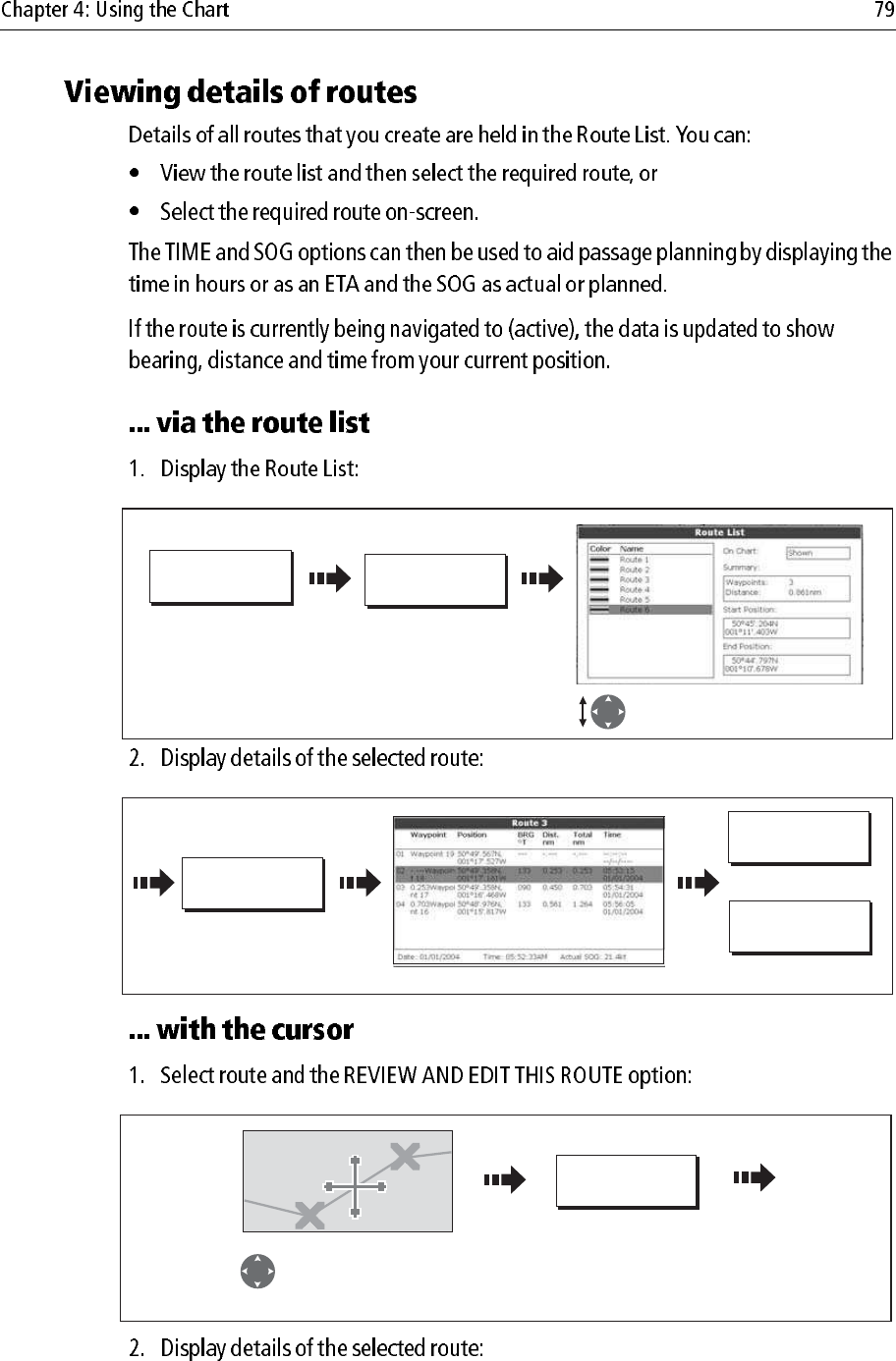
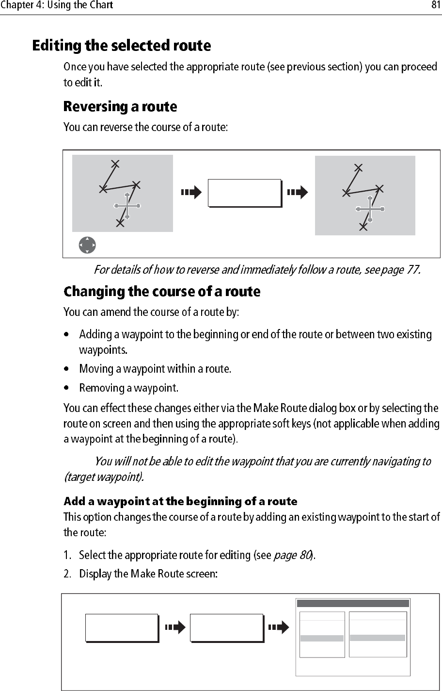
REVIEW AND EDIT
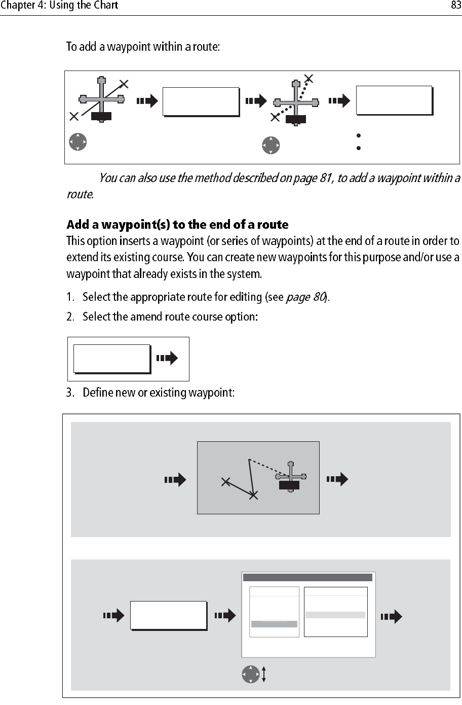
ROUTES…
D8997_1
ROUTES…
Select required route. Details
displayed on right of screen.
D8998_1
Toggle as required
and/or
ROUTE DETAILS...
TIME
ETA HOURS
SOG
ACTUAL PLANNED
REVIEW AND EDIT
THIS ROUTE
D9000_1
Position cursor over
any leg of the required
route
Note:
D8998_1
Toggle as required
and/or
ROUTE DETAILS...
TIME
ETA HOURS
SOG
ACTUAL PLANNED
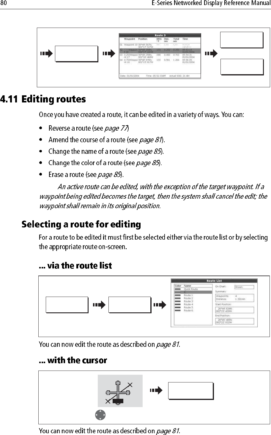
ROUTES ... REVIEW AND
EDIT ROUTES ...
Highlight required route
D8369_1
D8370_1
REVIEW AND EDIT
THIS ROUTE
Route 3
Move cursor over
required route
RTE
Note:
Note:
REVERSE ROUTE
D6541-4
Select appropriate
route with cursor Waypoints renumber
and route name moves
BayView
1
2
3
4BayView
1
23
4
D6507_3
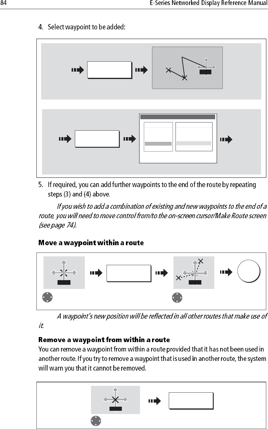
USE WAYPOINT
LIST...
AMEND ROUTE
COURSE…
The Make Route screen is displayed
Make Route
Waypoints
Harbour Ent.
Midchannel
Outer Harbour
Pierhead
Waypoint 4
50016'.75N
00106'.095W
50047'.356N
00106'.604W
Sunday tour
01 Midchannel
02 Outer Harbour
03 Harbour Ent.
D8371_1
Move control to route column.
Make Route
Waypoints
Harbour Ent.
Midchannel
Outer Harbour
Pierhead
Waypoint 4
50016'.75N
00106'.095W
50047'.356N
00106'.604W
Sunday tour
01 Midchannel
02 Outer Harbour
03 Harbour Ent.
Return control to Waypoint
column.
Select waypoint for insertion.
Make Route
Waypoints
Harbour Ent.
Midchannel
Outer Harbour
Waypoint 4
50016'.75N
00106'.095W
50047'.356N
00106'.604W
P
ierhea
d
Sunday tour
01 Midchannel
02 Outer Harbour
03 Harbour Ent.
Move highlight above first
waypoint in route.
D8372_1
Waypoint insert at beginning of route.
Route index renumbers.
Make Route
Waypoints
Harbour Ent.
Midchannel
Outer Harbour
Waypoint 4
50016'.75N
00106'.095W
50047'.356N
00106'.604W
Pier
h
e
ad
Sunday tour
01 Pierhead
02 Midchannel
03 Outer Harbour
04 Harbour Ent.
INSERT
WAYPOINT SAVE ROUTE...
D6604_2
RTE
PLACE WAYPOINT
4nm North-Up (Relative Motion) Local
Original
course
Position
for new
waypoint
Amended
route
Note:
D8373_1
INSERT
WAYPOINT
PLACE
WAYPOINT
Move cursor
over appropriate
leg of route
Stretch to
position for
new waypoint
Route course changes
Route index re-
numbers
RTE RTE
D8382_1
AMEND ROUTE
COURSE...
D8380_1
USE WAYPOINT
LIST...
Or:
Define new waypoint
Use existing waypoint
Select waypoint for insertion.
Make Route
Waypoints
Harbour Ent.
Midchannel
Outer Harbour
Waypoint 4
50016'.75N
00106'.095W
50047'.356N
00106'.604W
P
ierhea
d
Sunday tour
01 Midchannel
02 Outer Harbour
03 Harbour Ent.
Drag cursor to required position for
additional waypoint
1
2
3
RTE
Note:
Note:
D8381_1
PLACE WAYPOINT
New leg added to end of route.
New leg added to end of route.
Or:
Add new waypoint at cursor
Sunday tour
01 Midchannel
02 Outer Harbour
03 Harbour Ent.
1
2
3
RTE
USE WAYPOINT
LIST...
Use existing waypoint
Make Route
Waypoints
Harbour Ent.
Midchannel
Outer Harbour
Waypoint 4
50016'.75N
00106'.095W
50047'.356N
00106'.604W
Pierhea
d
D8374_1
MOVE WAYPOINT
Move cursor over
waypoint to be
repositioned
Drag cursor to
new position
OK
WPT WPT
D8374_1
REMOVE
WAYPOINT
WPT
Move cursor over
waypoint to be removed
Note:
EDIT NAME AND
COLOR...
D8376_1
Select name
or color
Edit Route
Name
R t 1
Color
Rout
e
1
EDIT NAME
EDIT COLOR
Or
D8377_1
Edit Route
Name
Color
Da
rtm
ou
t
h
Edit color/name Save
OK
Edit Route
Name
R t 1
Color
R
ou
t
e
1
D8379-1
ERASE ROUTE YES
Note:
Note:
D6772-2
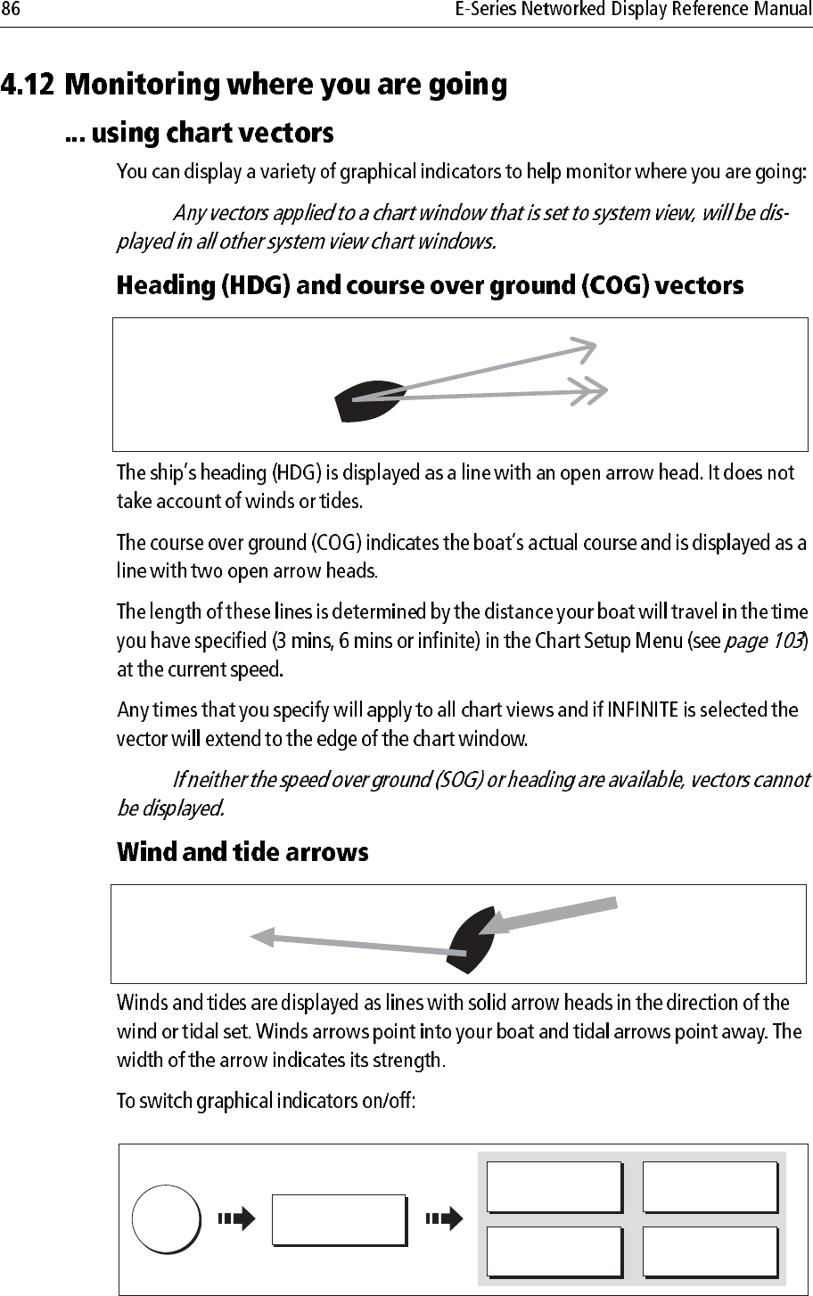
Heading vector
(HDG)
Course over ground
(COG)
D6773_2
Tide arrow
Wind arrow
DATA
D6548-2
CHART VECTORS
TIDE ARROW
ON OFF
WIND ARROW
ON OFF
HDG VECTOR
ON OFF
COG VECTOR
ON OFF
Note:
D6895-2
D8363_1
MENU
Alarm Setup Menu
System Alarms Setup..
.
Radar Alarms Setup..
.
Fishfinder Alarms Setup...
Navi
g
ation Alarms Setup..
.
Select appropriate sub-menu
Select Alarm Setup
Setup
Chart Setup...
Cartography Setup
GPS Status...
Compass Setup...
System Setup...
Al
arm Setup..
.
Notes: (1)
(2)
D7578-3
CHART MODE AND
ORIENTATION…
CHART SYNC
PRESENTATION… RDR
D6609-3
TARGET
TRACKING...
RADAR
OPTIONS...
Select the target
with cursor
On screen:
With radar overlay on:
ACQUIRE TARGET MARPA LIST... MARPA
OPTIONS...
Or:
Marpa controls displayed
Note:
PRESENTATION CHART LAYERS RADAR OVERLAY
D6889-4
O
N
Radar range
D6896-3
Status
4nm North-Up (Relative Motion) Local
Overlay
D8364_1
OK x2
NAVIGATION
OPTIONS...
RADAR
OPTIONS...
... For route and track options.
... For target tracking, gain and target
display or to change radar range.
PRESENTATION CHART LAYERS RADAR OVERLAY
O
F
F
D8365_1
Note:
.
D7217-3
RADAR
OPTIONS...
D6585-1
RANGE
IN
OUT
D6607_2
FIND SHIP GOTO… ROUTES… TRACKS… PRESENTATION…
4nm North-Up (Relative Motion) Local
[
D6500-2
TRACKS… START TRACK
Track laid from your boat
D6501-3
TRACKS… STOP TRACK DISCARD TRACK
SAVE TRACK
CANCEL STOP
COMMAND
Or:
Or:
Note:
Note:
D8366-1
D6505_3
CREATE ROUTE
FROM TRACK…
TRACKS…
Track List
Color Name
---- Track 1
---- Track 2
---- Track 3
---- Track 4
D8367_1
CREATE ROUTE
FROM TRACK…
YES
NO
Route generation completed.
Maximum deviation from
oritinal track equals 0,001nm.
Please check route before
navigating. Do you want to name
the route?
Route generated and
dialog box displayed
To accept default
(numbered)
Or
Note:
D8368_1
CREATE ROUTE
FROM TRACK…
YES
NO
Route generation completed.
Maximum deviation from
oritinal track equals 0,001nm.
Please check route before
navigating. Do you want to name
the route?
Route generated and
dialog box displayed
To name the route
To accept default
(numbered)
Track 2
Or:
TRACK
Position cursor
over track
TRACKS ... REVIEW AND
EDIT TRACKS ...
Highlight required track
D8674_1
Track 2
TRACK
Position cursor
over track
... via the track list
... via the cursor
EDIT NAME AND
COLOR...
D8739_1
Select name
or color
Edit Track
Name
T k 1
Color
T
r
a
c
k 1
EDIT NAME
EDIT COLOR
Or
D8377_1
Edit Route
Name
Color
Da
rtm
ou
t
h
Edit color/name Save
OK
Edit Route
Name
R t 1
Color
R
ou
t
e
1
D8741-1
ERASE TRACK YES
Note:
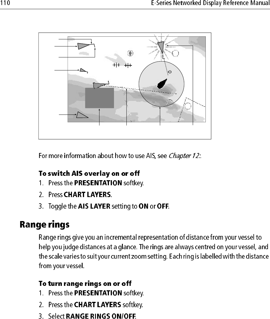
PRESENTATION CHART VIEW
LOCAL SYSTEM
D6586_3
Notes: (1)
(2)
D6511_2
CHART MODE AND
ORIENTATION…
PRESENTATION… ORIENTATION
H-UP N-UP C-UP
D6512-2
CHART MODE AND
ORIENTATION…
PRESENTATION… MOTION MODE
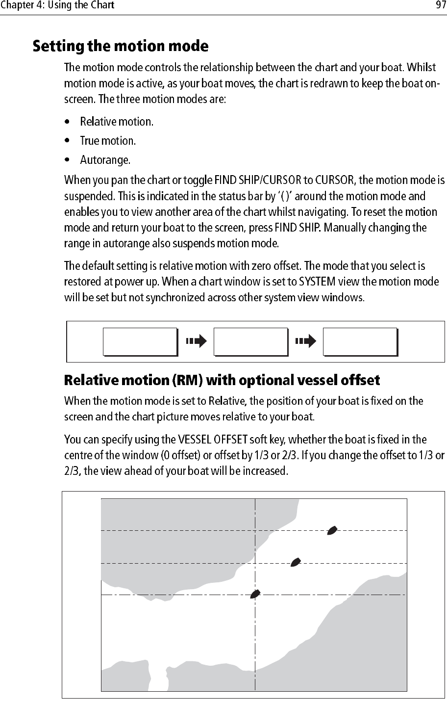
TM RM AR
D6839_3
0 Vessel offset
1/3 Vessel offset
0 Vessel offset
Note:
Note:
D6840_2
D6841-2
Note:
SHOW/HIDE
WAYPOINTS...
SHOW BY
PRESENTATION...
D6879_2
Toggle to symbol or
group
S
YM
ON CHART
D8383_1
Select relevant group
Toggle to required
status
SHOW BY GROUP
Fishing SHOW
Diving HIDE
M
y
Wa
yp
oints SH
O
W
S
HOW
D6881_2
SHOW/HIDE
WAYPOINTS ...
WAYPOINT NAME
PRESENTATION…
O
N
WAYPOINT INDEX
D6595-2
SHOW/HIDE
ROUTES…
ROUTES…
O
N
Note:
Note:
D8390_1
HIDE ROUTE
HIDE TRACK
Move cursor over
appropriate route
Move cursor over
appropriate track
Routes
Tracks
Or
TRACK
RTE
D8388-1
SHOW/HIDE
ROUTES…
ROUTES…
Routes
Tracks
SHOW/HIDE
TRACKS…
TRACKS…
Or:
D8389-1
ROUTE ON CHART
S
H
O
W
Highlight required route
Routes
Tracks
Highlight required track
Set to SHOW or HIDE
as required
Set to SHOW or HIDE
as required
TRACK ON CHART
S
H
O
W
Or
PRESENTATION
D6492-2
DECLUTTER
ON OFF
D8391_1
MENU
Chart Setup Menu
Object Information Points ON
Vector Length Infinite
Record Vessel Track By Time
Track Interval 1 secs
Datum WGS 1984
Chart Offset...
Setup
Cartography Setup
GPS Status...
Compass Setup...
C
hart Setup..
.
Highlight Chart Setup menu
Enter Chart Setup menu
Note:
D7187-3
Alarm Setup Menu
Object Information Points ON
Vector Length Infinite
Datum WGS 1984
C
hart Offset..
.
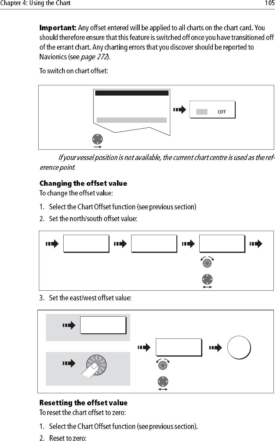
Select Chart Offset
Toggle to ON
OFFSET
O
N
D7188_3
SET OFFSET... ADJUST N-S
0ft
ADJUST N-S
-80ft
Adjust North/
South level as
required.
or:
D8384_1
ADJUST E-W
0ft
ADJUST E-W
121ft
Adjust East/ West
level as required.
OK
Press
Or
or:
D8393_1
SET OFFSET... CLEAR OFFSET
D8392_1
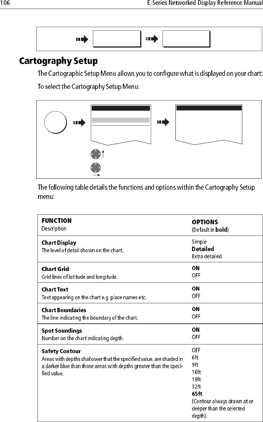
MENU
Setup
Chart Setup...
GPS Status...
Compass Setup...
Highlight Cartography
Setup menu
Enter Cartography
Setup menu
Cartography Setup Menu
Chart Display Detailed
Chart Grid On
Chart Text On
Chart Boundaries ON
Spot Soundings ON
Carto
g
rap
h
y Setup..
.
Note:
Note:
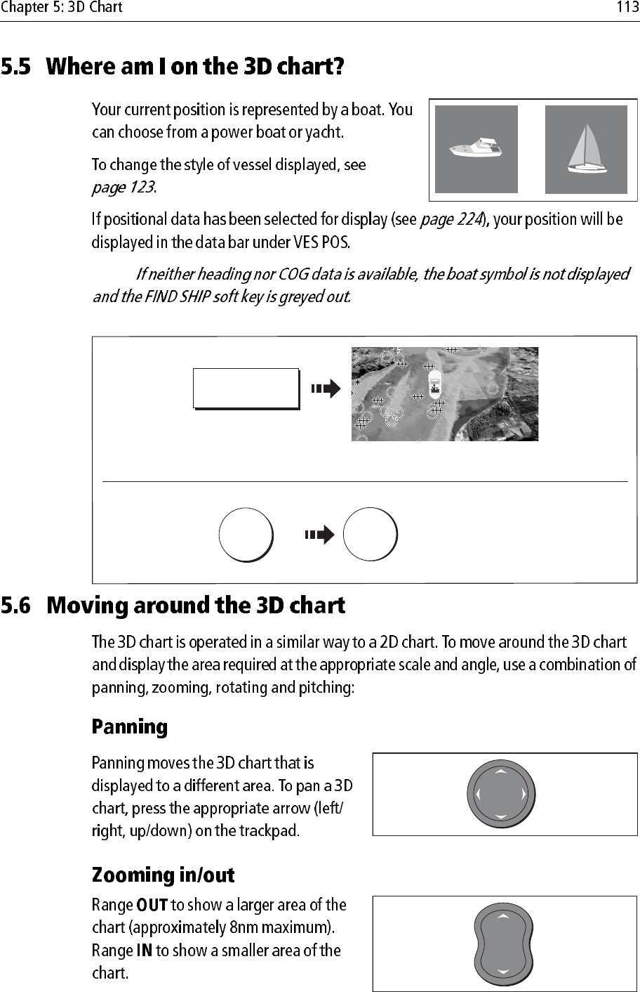
Navigation options
D9056_1
097°T
11.6kt
1.237nm
00h04m33s
Safety
critical data
Heading
Large
vessel
Direction
of turn
Small
vessel
COG/SOG
vector
Safe zone (defined by
distance or time)
Dangerous
target (flashes)
Sleeping
target
Mode
Shows mode
application is
working iin.
Rotation
Shows in degrees true,
how far the on-screen
view has been rotated
from your boat's heading.
Range
Horizontal distance across
screen (halfway up the window
or at center of view). Shown in
selected system units.
Boat symbol
Boat's position on
chart. Select sail
or power boat.
Center-of-view
White cross indicates
center of chart view
at sea level.
North arrow
3D indication of True
North in relation to
the chart view.
Depth scale
Approximate
depth beneath
your boat.
Waypoint
With arrival
circle
Cartographic objects
Select objects for display
via the 3D Chart Setup
menu.
D8250_1
Note:
Or
D8395_1
D8394_1
FIND SHIP
3D Chart redraws with boat in forward
looking view at your current position
If you cannot see your boat:
WPTS
MOB OK
Accepts default
(or wait 3 seconds)
x2
To mark your current position:
D8700_1
D8236_1
D6585-1
RANGE
IN
OUT
Note:
Press
D8620-1
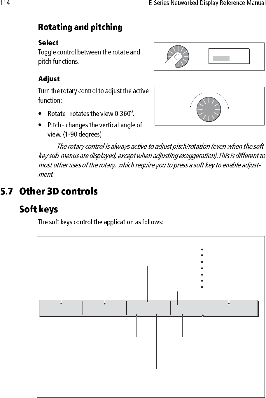
OR ADJUST
ROTATE PITCH
Turn
D8723-1
FIND SHIP GO TO... ADJUST ON
EYE CENTER
ADJUST
ROTATE PITCH PRESENTATION...
D8053_2
To find your boat and
reinstate active
motion mode, forward
looking chart view.
To select an existing
route to follow or a
waypoint to go to.
Rotates or pitches chart
around center-of-view
cross. Useful for close
up views.
To select center point
around which the chart
will move when rotary
control used.
To adjust presentation options:
Transducer cone
Depth scale
Direction of view
Exaggeration
Vessel offset
Declutter
Waypoint name (ON/OFF)
To rotate or pitch chart around virtual eye
point, maintaining a relative position from
the virtual eye point to the on-screen boat.
Useful for aerial overview.
To change vertical
angle of view.
(from sea-level to a
full top-down aerial).
To select how
rotary control
adjusts view
To rotate chart
(0-360o).
Note:
Or
D8737_1
D8724_1
FIND SHIP
3D Chart redraws with boat in forward
looking view at your current position
Note:
AFTPRT
PRT ROTATE 106oT2.431nm
Eye point above and to starboard side
of boat, looking to port.
STB ROTATE 280oT2.431nm
AFT
D8726_1
STB
Eye point above and to port side of
boat, looking to starboard.
Port Starboard
FWD ROTATE 195oT2.431nm
FWD
Default view.
Eye point above and behind the boat,
looking forward.
Pressing FIND SHIP resets to this view.
AFT ROTATE 011oT
Eye point above and in front of the boat,
looking behind it.
D8725_1
AFT
2.431nm
Forward Aft
D8240_1
3D VIEW
OPTIONS...
PRESENTATION… VIEW TO
FWD STD AFT PRT
Note:
D8252_1
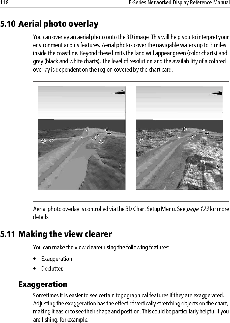
Multiple 3D views
Example:
Four 3D application windows showing the same area of the chart but from 4 different angles.
D8239_1
3D VIEW
OPTIONS...
PRESENTATION… VESSEL OFFSET
0 1/3 2/3
Standard 3D image 3D image with aerial overlay
D8848_1